Mubarakpur Dabas, New Delhi
LOCATION
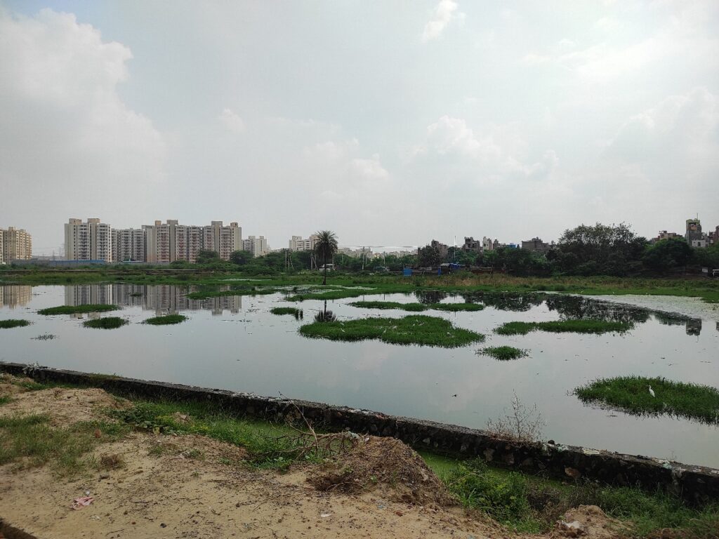
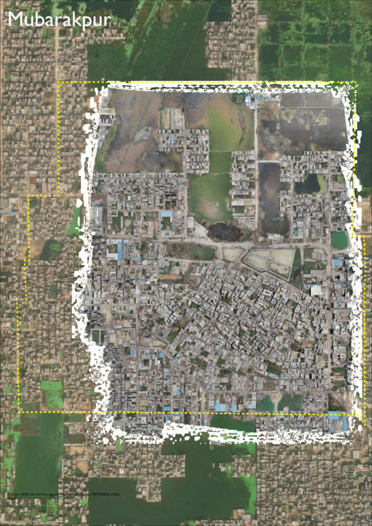
Mubarakpur Dabas is located to the west of Delhi. The village is adjacent to one of Delhi Jal Board’s prominent lakes. The community comprises a village and informal settlement. The Bisagama is a cluster of twenty villages covering 24,558 acres of partially irrigated upland. The villages have a long history with the major landowning villagers identifying themselves with a common ancestor, Dabas. Located in the Kanjhawala area cluster forming a part of chaugama were villages-Madanpur Dabas, Rani Khera, Rasulpur, Mubarakpur Dabas. These villages have joint habitation rules and collective arrangement of managing the commons – village ponds or Johads, the field channels or dhana.
GEOGRAPHIC SETTING
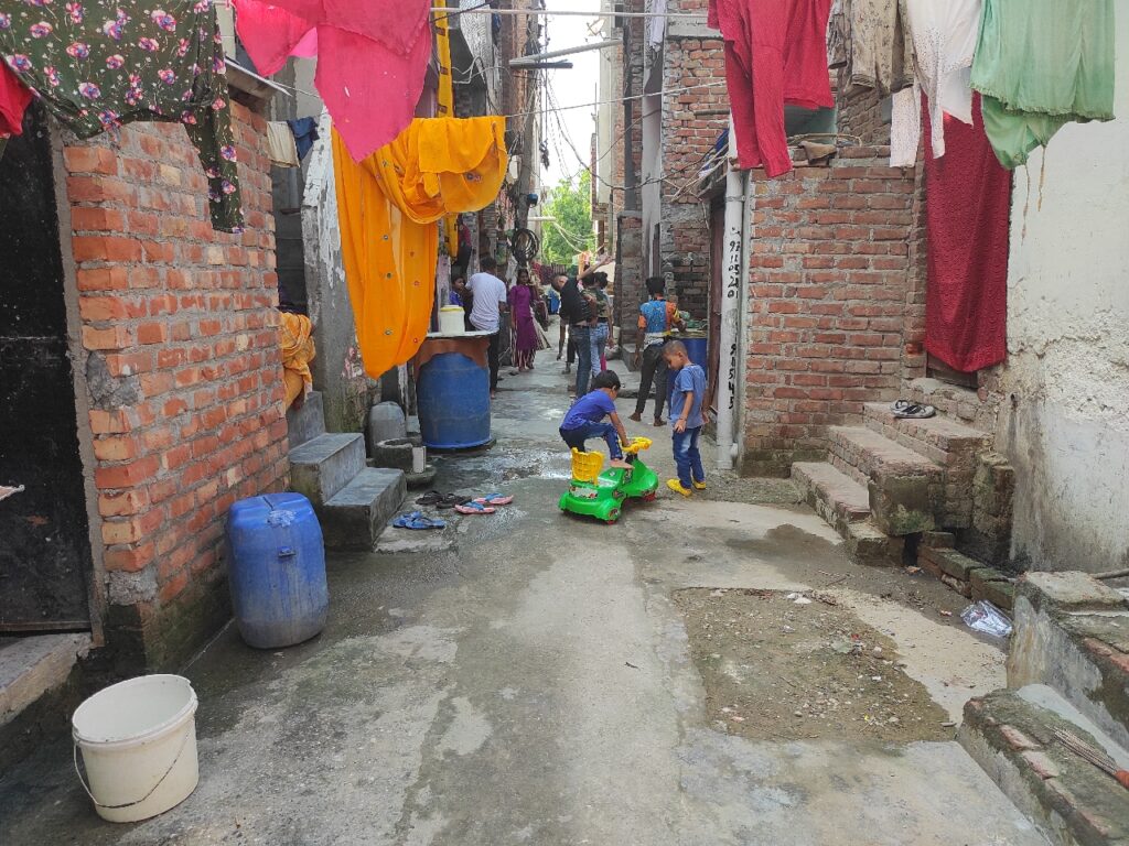
Mubarakpur Dabas is spread across an area of 232 hectares and was listed as a census town housing 12,043 people in 2,228 households. The village is mainly occupied by Rajasthani (Dabas community), Jaat, Nai, Balmiki and Brahmin communities. New settlement colonies have come up in the late 1980s and early 1990s, with migrants from Bihar and Uttar Pradesh.
COMMUNITY CONTEXT
The settlement was earlier dependent on agriculture as a prime source of income, but this connection has been lost as lands have been sold and the community is now being forced to engaged in alternative forms of work. Most of the people in the community now depend on rental income, while the other half work in industrial areas, namely Mundka and Khanjhawala.
KEY COMMUNITY CHALLENGES
- Rapid urbanisation in and around the village area has led to haphazard development, forcing many people to migrate outside the settlement.
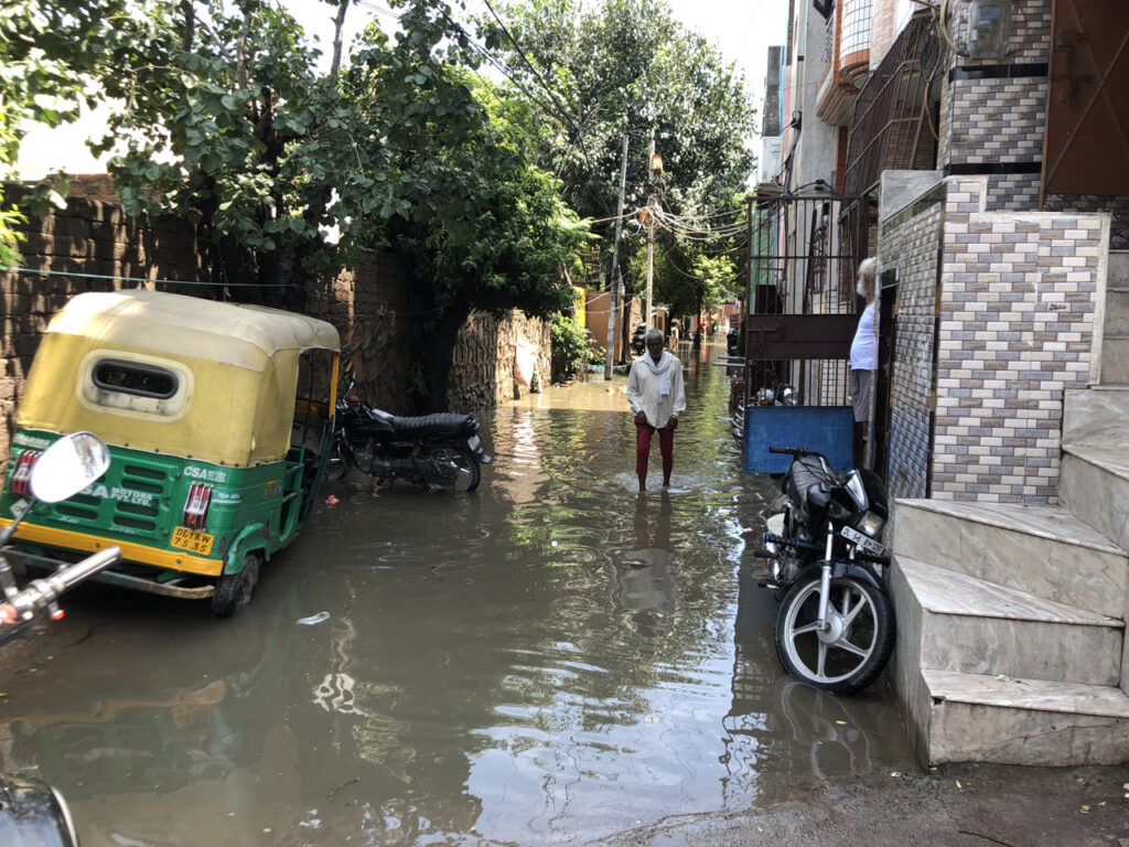
- Furthermore, older structures near the vacant plots of land are facing waterlogging issues, forcing some residents to invest in draining the water out of the plot area. Ongoing construction in the area is exacerbating this issue by utilising the excess standing water in the area.
- The Mubarakpur Lake, which is one of the key sites of the area, with three divisions that are used by cattle, for the village (cultural) and for farming. However, the lake is now facing the issue of wastewater from the village being dumped in the site.
- The wells in the settlement that were earlier majorly used for washing clothes have now been closed.
VISION
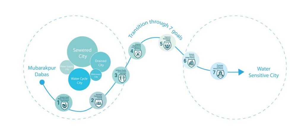
Types of Intervention
Facilitation intervention
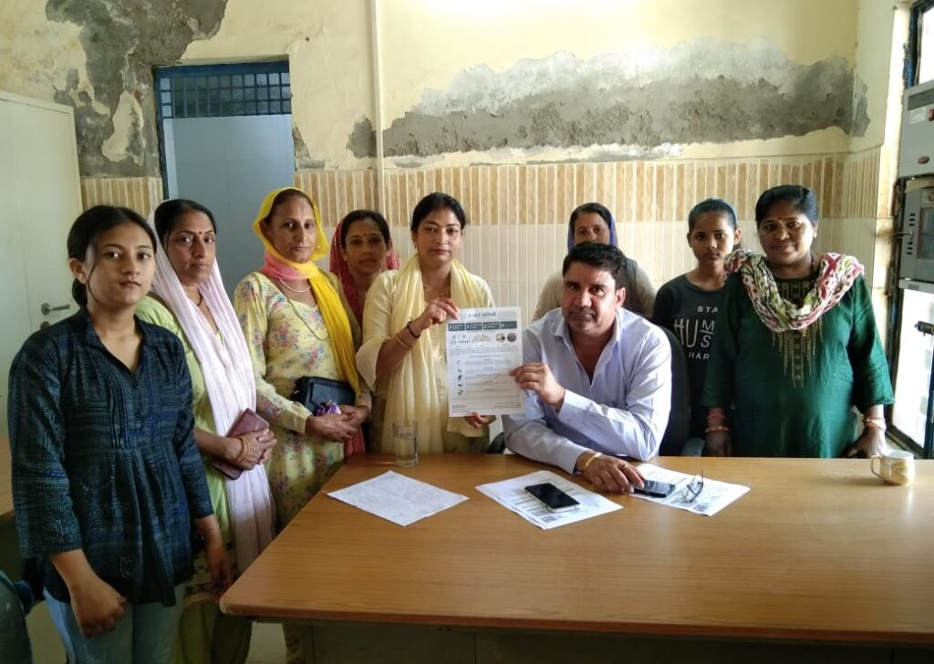
- Community advocated to rectify a water supply pipeline.
- Community members applied for water meter connections within their homes
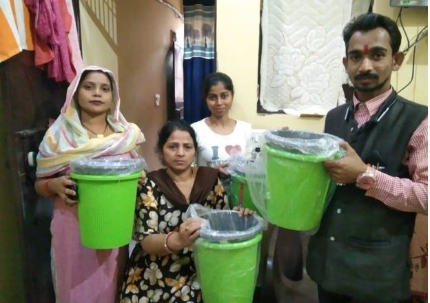
- Community facilitated the distribution of dustbins through government agencies for better solid waste management.
Empowering communities
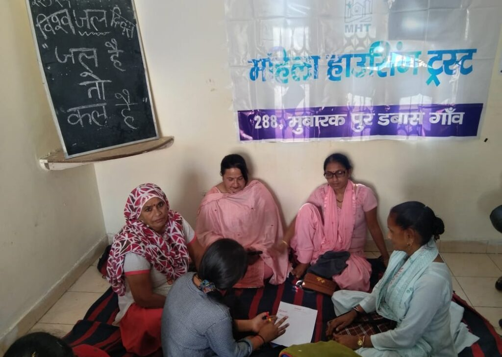
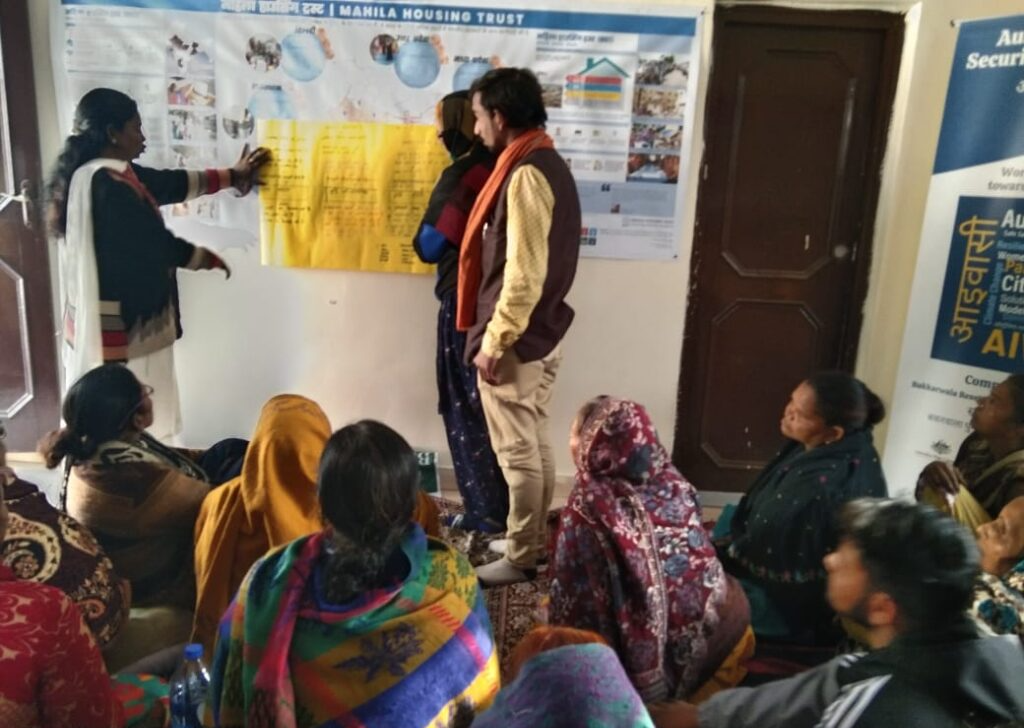
- Capacitated on themes of climate change, water cycle, water quality testing and vector borne disease.
- Trained to use the community-based vulnerability assessment tool to develop the community-based resilience action plan.
- Conducted community-led tree census activity to identify local flora within the area.


