-

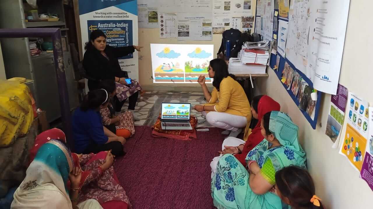
- Capacity building
-
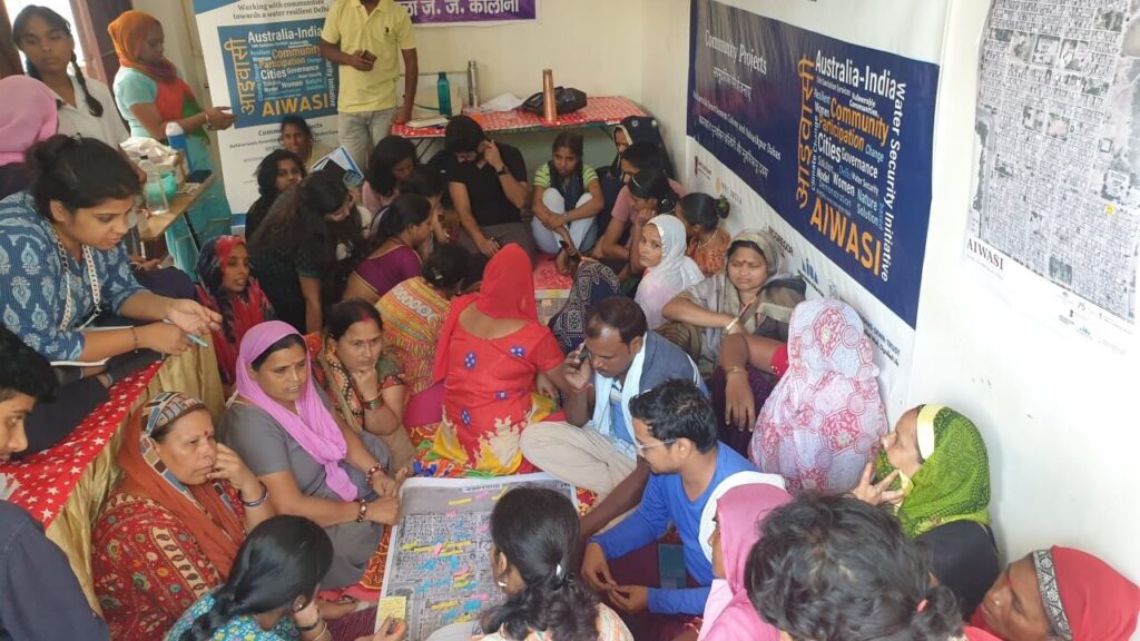
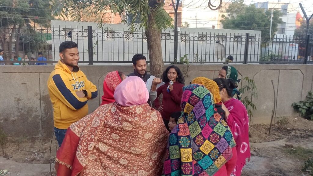
- Community Mapping Exercise
-
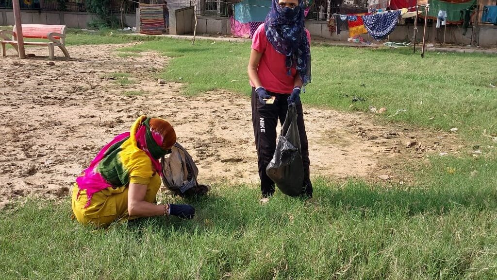
- Effective solid waste management in Bakkarwala
-
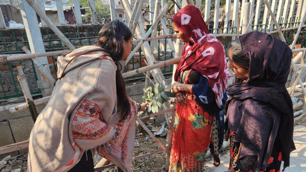
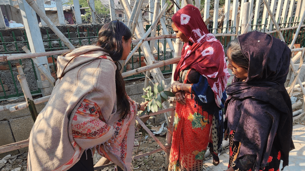
- Greening initiative in G block Park
-
- Tree Census
-

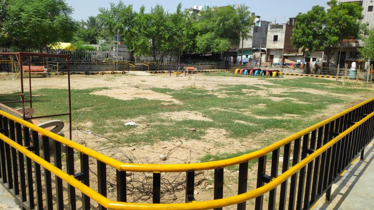
- Universally accessible G block park
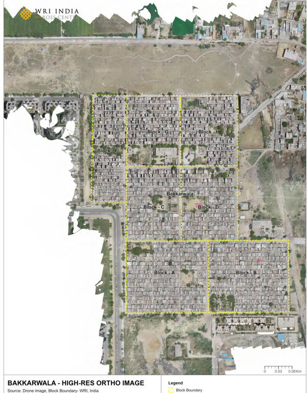
The Bakkarwala Resettlement Colony site was chosen based on several factors such as geospatial analysis, location of the catchment etc. Several baseline household surveys were conducted to arrive at the selecting these two sites.
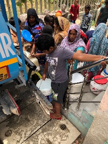
The primary occupation within the settlement includes construction workers, domestic labourers, factory workers and street vendors. The community receives an average monthly income of INR 4,000-10,000. Many houses on the main streets have been rented out, or turned into small shops, while some vacant edges have been converted into small religious shrines. High groundwater level and water quality is hard, but it is still used for non-potable household chores.
The site is mainly occupied by Rajasthan, Gujarati and Bihari communities. These communities have been relocated as part of proposed developments around the Commonwealth Games held in 2010.
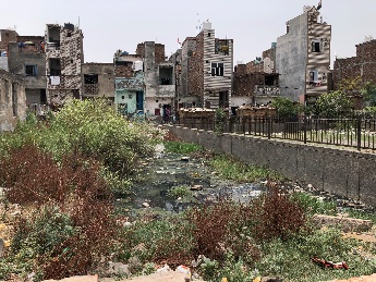
The overflows from the drain seep into the water storage tank, thus compro-mising the quality of water. This issue seems to be prevalent during monsoon.


Facilitation intervention:
On-ground intervention:
Empowering communities: